
This post was last updated on August 26th, 2014 at 12:08 am
South Fork of the Snake River in Idaho
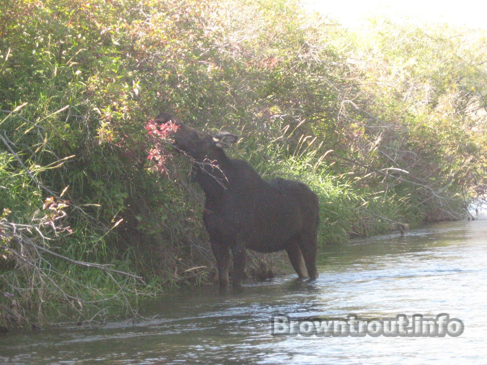
The South fork of the snake river starts in southeast Idaho at palisades dam. It flows out of Yellowstone national park, goes through about 50 miles of Wyoming and dumps into palisades reservoir. At the start of the south fork near the dam you will find a large population of some of the largest trout in the river system. The high oxygen content and the flourishing insects provide perfect trout habitat. As you float your way down the first several miles of river are void of the small side channels the snake river is known for.
About 8 miles below the dam you will find the next boat launch called spring creek bridge. This is the start of what is known as the “middle or canyon section” of the south fork of the snake. This section has no roads or boat launches for almost 13 miles of river. It has many large rock canyon walls that provide excellent structure for the fish. It also contains many small riffles that can be very productive during a mayfly and stone fly hatch. Some smaller side channels can be tricky to navigate for a new oarsman on a river boat. Be sure to exercise caution if you are inexperienced in rowing a drift boat. This section of river has plenty of camping sites along the way down, providing you with the opportunity to spend a couple days on the river. Since this is such a long section, camping is the only way to float this without being too rushed to make it to the next launch. The end of this float has several choices of boat launches to use. There are some really nice ones such as Byington or wolf (which is a little more rugged).

The final section of the river I will cover here is a lower section that starts near the town of Ririe and flows through a section filled with braids and treacherous areas. There are numerous log jams and blow downs in this section of river, making it extremely dangerous if you are not an experienced drift boat user. There are so many side channels and braids that you could fish this several days in a row and never fish it the same way twice. It has a healthy population of large brown trout in this particular lower area. They can be caught using a standard indicator rig or occasionally large dry flies. The takeout for this section is near the town of Rexburg Idaho at a launch called Lorenzo. This is a large boat launch you will find on your right side after the river flows underneath highway 20. There is ample parking and one of the nicest concrete launches the south fork of the snake has to offer.
There is pretty good fishing below this section of river but I have limited experience in that area. The river is similar in size as the areas I have mentioned earlier, but the landscape at this point is mostly agriculture and not as scenic as the upper sections of the river.
If you have any doubts about floating this river, you should probably hire a guide. This can be an extremely dangerous river at times. Be sure to check the water levels prior to your trip, you can find them at usgs.gov
If you are looking for a complete list of boat launches on the South Fork of the Snake go here