
This post was last updated on August 4th, 2021 at 06:48 pm
A Complete List of Snake River Boat Launches
You will find every South Fork of the Snake boat launch mentioned in this article on an interactive map at the very bottom of this page.
I have listed all public boat launches for 50+ miles of river from the beginning of the South Fork of the Snake at Palisades dam, all the way down to highway 20 near Rexburg Idaho. They are listed in order from upstream to downstream.
Palisades Dam
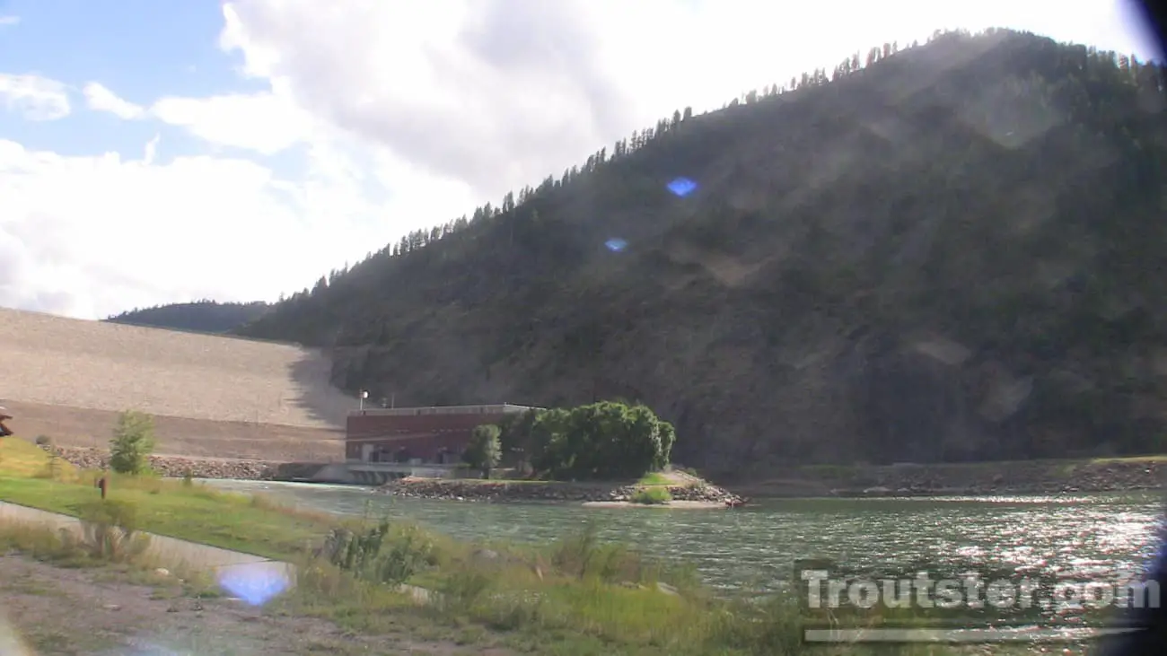 The South for of the Snake river officially begins here at the Palisades dam. After it’s humble beginnings in Yellowstone National park, the Snake river falls into Palisades reservoir; once it exits at the dam it becomes the south fork. This river is bar none one of the greatest trout fishing rivers on the planet. Controlled by the dam and filtered through the long reservoir, this amazing fishery doesn’t experience dirty water from runoff anything like the upper snake near Jackson Wyoming. The water is controlled and is normally predictable, however anything can happen and the flow rate of the river can change drastically with the flip of a switch at the dam.
The float from dam to the Spring creek bridge is a typical one day excursion and the fish in this stretch can be very temperamental. Any change in the rate of flow can generally be expected to screw up fishing bigtime. This stretch of river usually produces the biggest fish in the system on average and can really provide truly huge fish. You can expect a mixture of brown trout, rainbows and cutthroats on this section, with a large specimen of any species probable at any moment.
This “upper” section will rarely produce huge quantities of fish like many of the lower sections of the south fork, but the size more than makes up for it. A trophy hunter looking for a massive fish should seek it in this area, because they are here in full force!
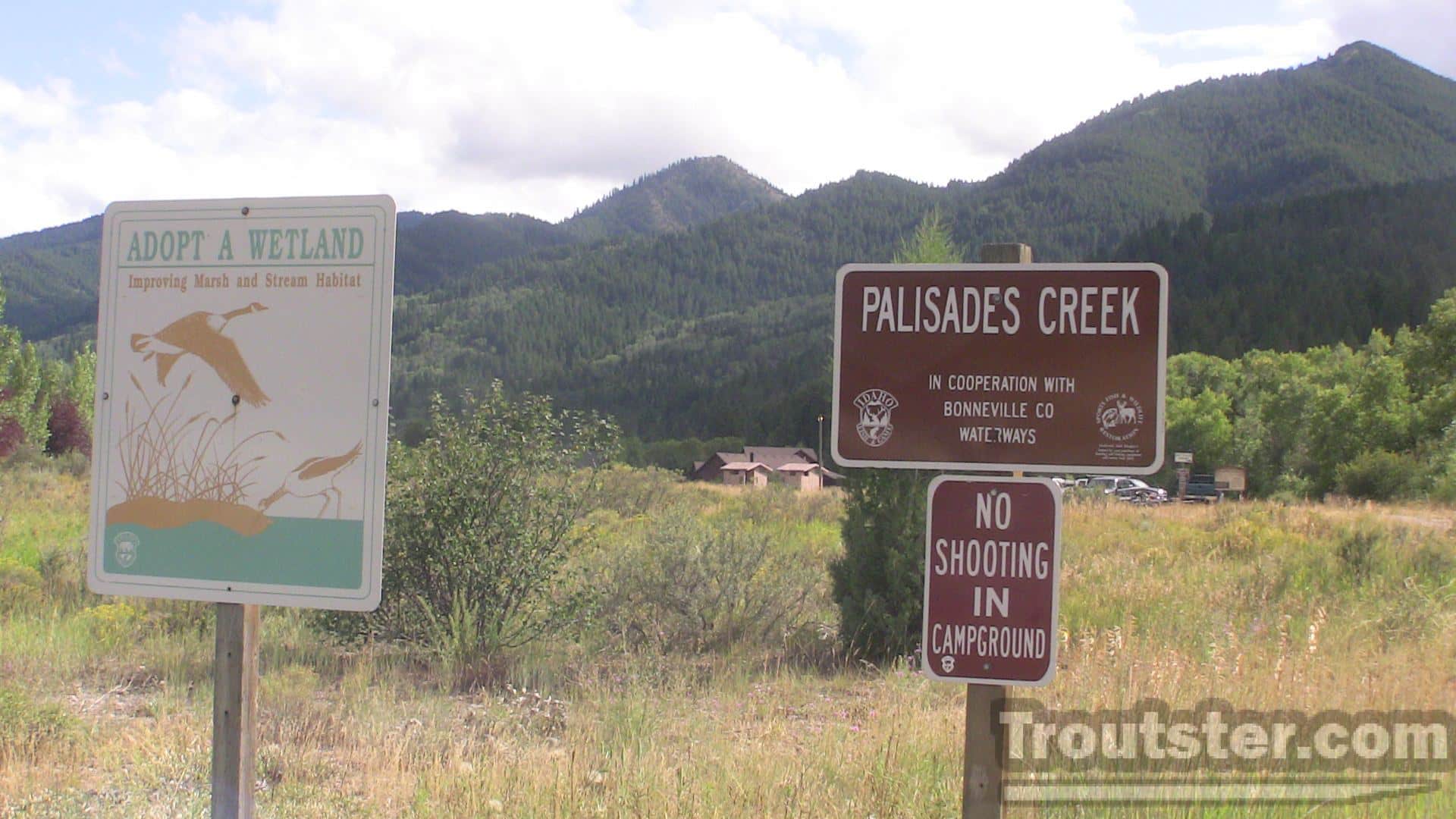
Husky or Palisades Creek Boat Launch


This Launch is right across the road from Huskies gas station on the upper south fork. It has a nice concrete launch with a floating dock and bathrooms available. It has several campsites in the back end and is pretty easy to use.
Irwin
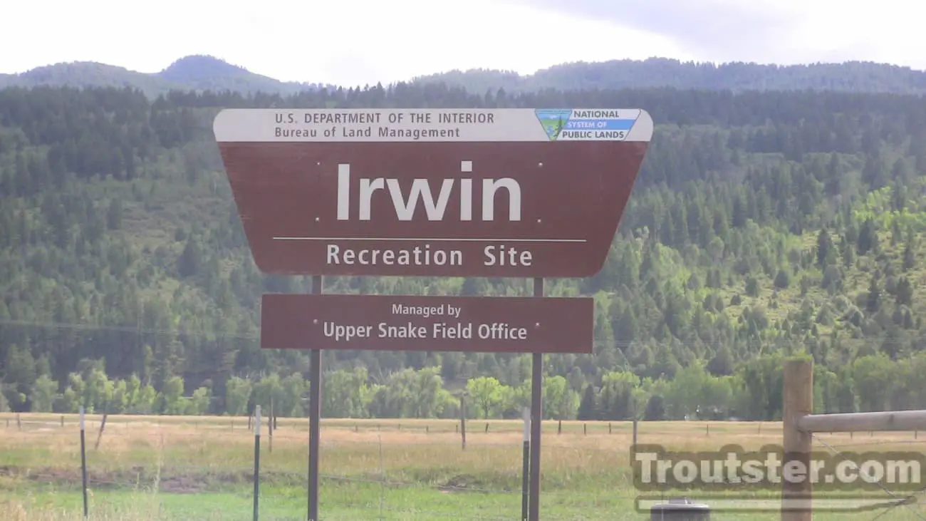 This small and very rustic launch is in the small town of Irwin Idaho. If you don’t have a 4×4 you might want to reconsider launching your boat here. It is a long “slide” style launch, you can use this ramp if you don’t have 4 wheel drive, but you will scratch the bottom of your boat up pretty bad on the slide. If you have a fancy wooden boat that you care a lot about I would choose husky launch a few miles upstream.
Spring Creek Bridge (Bridge in Swan Valley)
This is a popular takeout for people floating the upper section of the river. It is also a typical starting point for floating the canyon or “middle” section of the south fork. This is a well established boat launch with a concrete ramp and small outhouse type bathrooms.
Conant
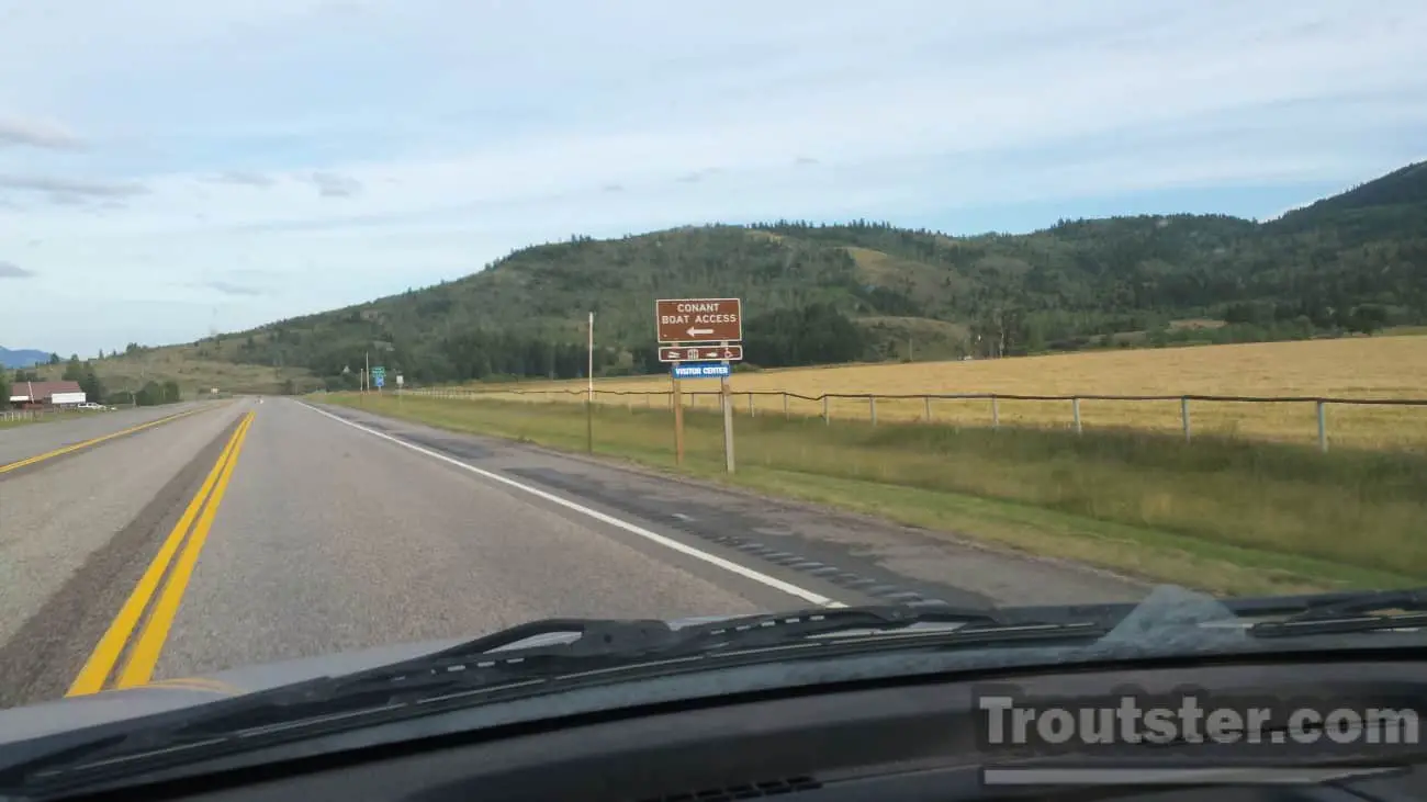
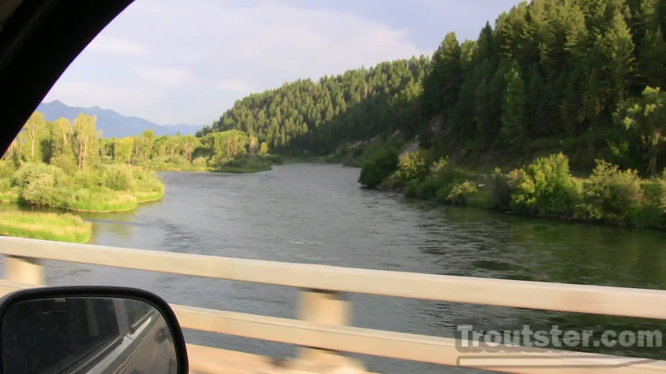
This large launch has very nice bathrooms and 2 lanes for launching your boat. It has a long floating dock and a huge parking area. This is a common starting point for people who embark on a 2 day float trip (a night of camping in a designated site on the river) down to byington launch. Floating from conant boat launch to byington is about 25 miles of river, so it makes a perfect length for 2 full days of fishing on the south fork of the snake.
Cottonwood (Fullmer)
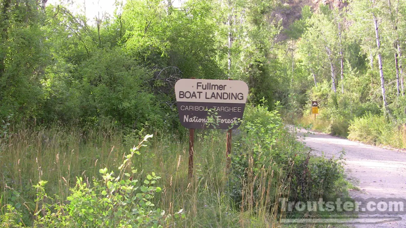
This launch in a very rustic area of the south fork is on the north side of the river, which makes the drive out very long. The only bridge to cross in the area is Heise and that is a solid 45 minutes of dirt road driving before you reach concrete when you get close to the highway (26).
Wolverine
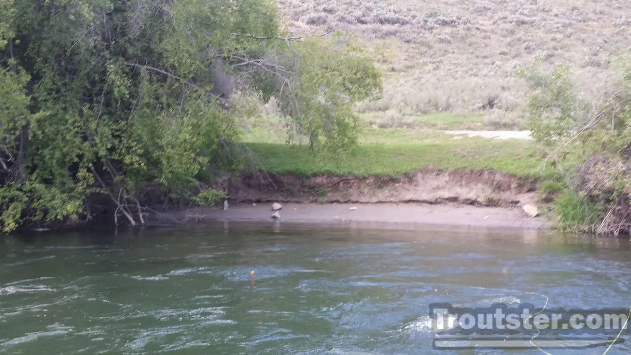
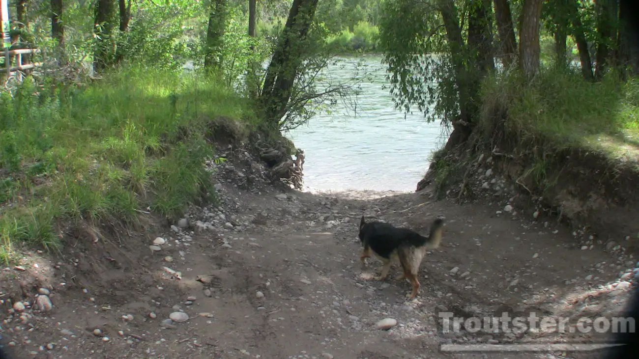
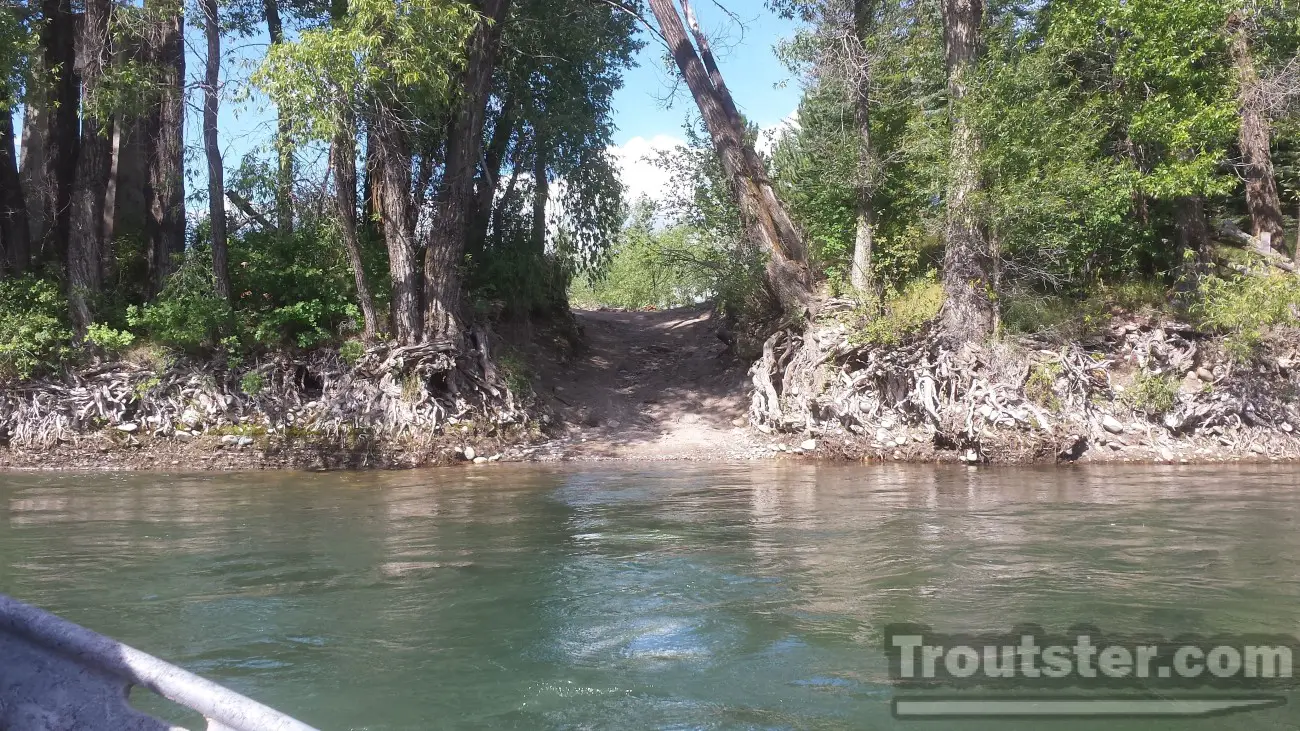
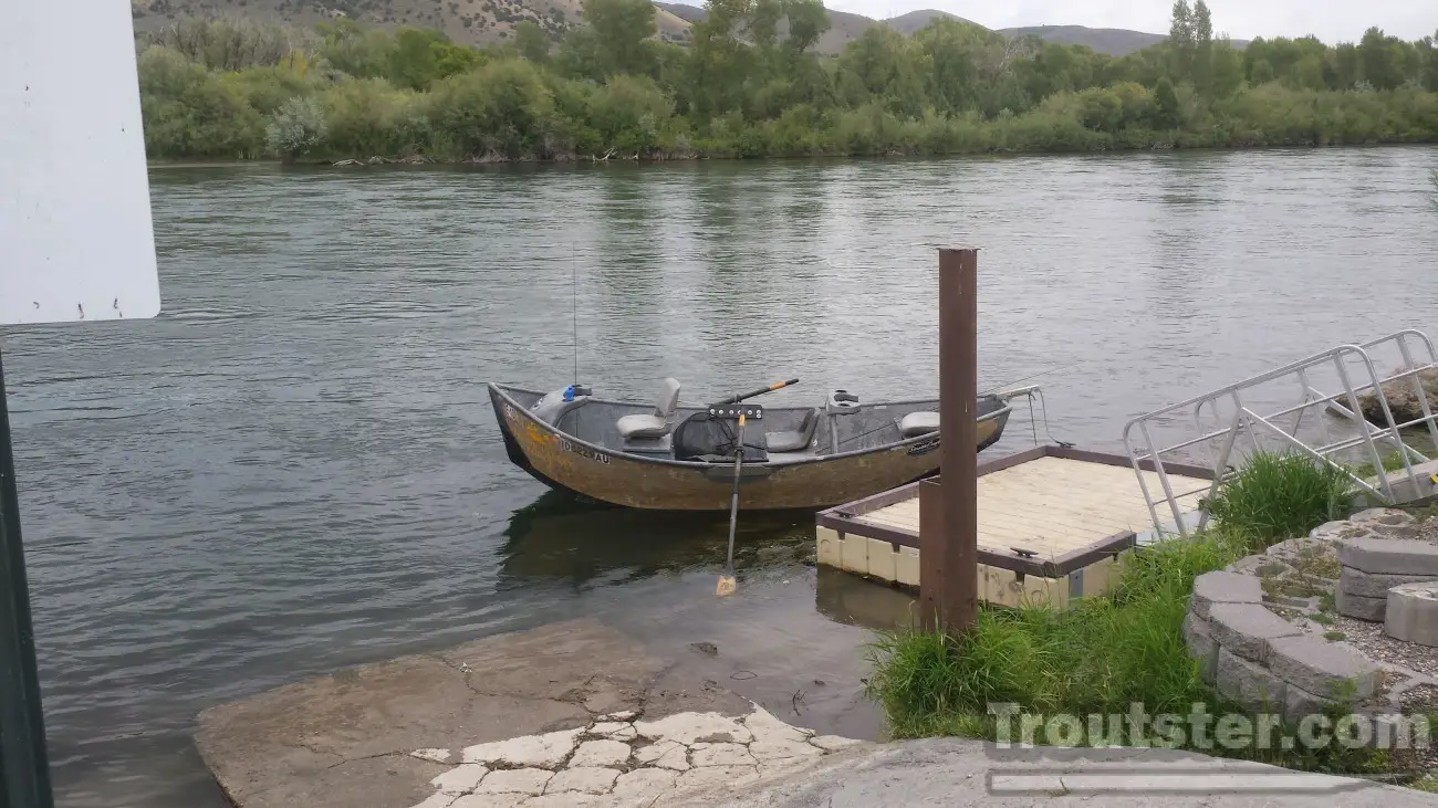
This extremely rustic and well hidden launch is rarely used. The runoff from spring of 2014 took a toll on this and I am not sure if anyone has used it so far this year (as I type this in late August 2014). I was just there a few days ago looking around and it had no signs of use. As you can see from the image above there is no easy taper to this launch anymore. I would avoid taking your drift boat out at this launch if you aren’t already familiar with it’s location, because it is very easy to miss the narrow opening in the thick trees on the bank.
Wolf
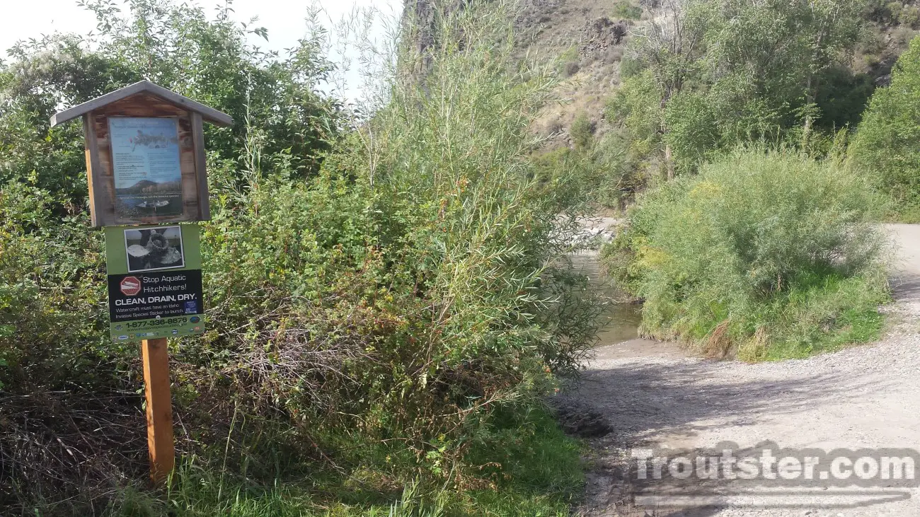
This dirt launch has no facilities other than a parking area and an overflow parking area to the east of the launch a couple hundred yards. Floating from Wolf down to Byington is about 2 hours of fishing, you could also float from Wolf to Heise bridge for about a solid 5 hour fishing trip.
Byington
A massive launch on the left side of the river. This is the biggest boat launch on the South Fork of the Snake, and the preferred launch for power boat users. It has 2 large lanes, 2 long docks and sits right in a slow eddy,
making this an extremely easy launch site. It has well kept bathrooms and even a raft launch and shuttle boat waiting area just upstream from the main launch. You will know you are coming close to the ramp when you pass through a large rapid next to a irrigation diversion channel. As soon as you see the small launch for the raft and shuttle area, you should hustle over to the left side of the river.
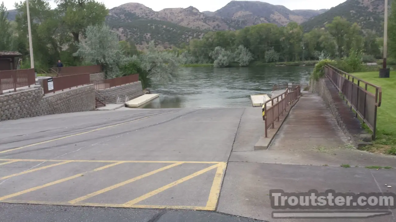
Heise

Heise bridge is a common place to launch a boat to float down to Lorenzo. It is about 7 hours of floating/fishing with many small stops on riffles etc. taken into consideration. Straight floating nonstop would be closer to 5 hours. This lower section of river is filled with fallen trees and a bunch of small side channels, making it a dangerous area for people not familiar with it. If you stay in the main channel and pay close attention you should be able to drift it fairly easily. There is a bridge that you will have to float under that has extreme currents in high water, you should analyze the situation before going under it. Beware! There are many small side channels that get blocked off frequently, if you follow the channels that have the most current you will be fine, but taking small side channels that you cannot see the end of is risky!
Twin Bridges
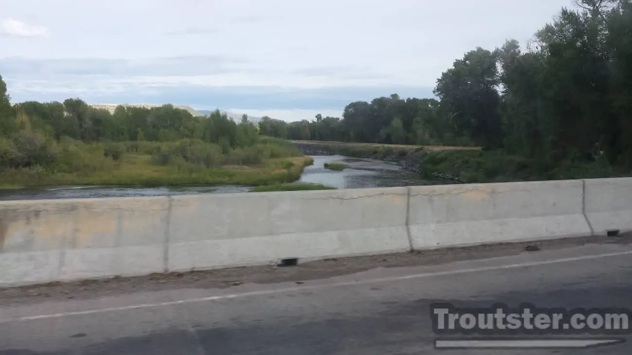
This boat launch is only usable in high water and it is in a side channel that will be easily passed if you don’t already know where it is. I would not recommend using this launch unless you are familiar with the area and are well aware of the current flow rate of the river. At this time (Aug. 24th 2014) the river is too low to access this boat launch and it will likely be unusable until spring of 2015.
Lorenzo
This large launch is on the right side of the river just after you pass under highway 20 near Rexburg Idaho. High water can send you blazing past the ramp because there is almost no eddy. In low water it can require dragging your boat a little ways unless you have a long winch strap. It is a nice concrete launch with lots of parking and outhouses, but can be tricky to use unless the water level is “just right”. Once you float under the train bridge and the highway 20 bridge you will need to hustle to the right side of the river, or you could end up taking a longer float than you planned.
South Fork of the Snake River Boat Launch Map
You can toggle this map between satellite view and regular map view on the upper corner of the map. Click on the name of your preferred launch site below the map and it will become highlighted on the map for your convenience. These boat launches below are not listed in any particular order, however the list above is in order.
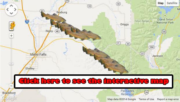
Feel free to toggle between the earth view and the map view. This map works in the same way Google maps does. This interactive map has all of the boat launches of the South Fork listed from the Palisades dam in Swan valley Idaho—down to Lorenzo boat launch near the town of Rexburg on highway 20.
If you’re looking to catch fish in the area, check out this post about fishing the Snake River.
For a bit more info on the South Fork of the Snake access sites you can visit http://www.blm.gov/id/st/en/visit_and_play/things_to_do/rivers/rivers/South_Fork_of_the_Snake_River/Access.html